- For Experienced Hikers
- For Intermediate-level Mountain Hikers
Mount Misen, Mount Hakkyo-gatake
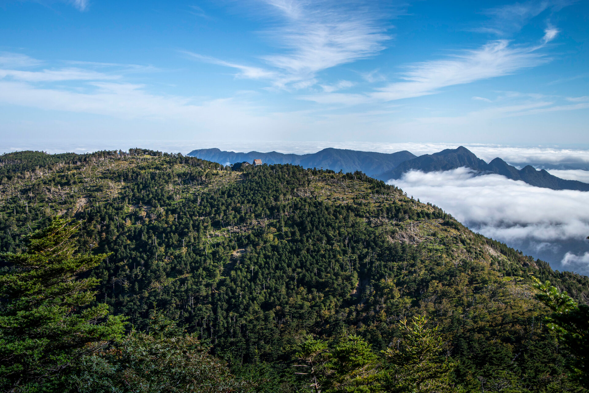
Mount Omine, which is one of Japan's Top 100 Mountains refers to the entire mountain range, including Mount Sanjo-gatake, Mount Misen (1895 meters) and Mount Hakkyo-gatake (1915 meters). Among them, Mount Hakkyo-gatake, also known as Bukkyo-gatake or Hakkensan, is the highest peak in the Kinki region.


Check out “YAMAP” for courses and other details provided by Tenkawa Village staff who walked this route.
Note: When mountain climbing, download a map from YAMAP, and check the course and your location for your safety.
*The course going counter against the flow of Misen River leads to the Okami-daira along the river is one of the courses where you can fully enjoy Mount Omine. However, unlike regular mountain trails, this course involves climbing rocks using hands and feet, and runs along the river, making the trail fragmented, and its condition constantly changes. There is a higher risk of accidents and slips, which requires both mental and physical strength as well as climbing skills. Beginners are advised to refrain from attempting this course.
*Fences have been installed around the saddle from Mount Hakkyo-gatake on Mount Misen side to safeguard the Oyama Renge (Great Yellow Azalea), one of Japan’s Natural Monuments, from damage caused by Japanese deer. When using the gates on the mountain trail, make sure to close them securely to prevent deer from entering.
Access
To the “Kawai Hakkyo-gatake Course,” take the Nara Kotsu Bus and get off at Tenkawa Kawai Bus Stop.
For the shortest route of the “Hakkyo-gatake Climbing Course,” which starts from the west entrance of the Gyoja-gaeri Tunnel, there is a parking lot (fee required) along National Route 309.
The road to the tunnel is very narrow, and the Shirakura Tunnel on the way has a height restriction for vehicles of 2.6 meters and a length of 7 meters. National Route 309 will be closed for winter from Okawaguchi to Nishihara in Kamikitayama Village.
The course going counter against the flow of Misen River can start from Kumagai (Kumawatari) along National Route 309.
How to Use YAMAP
*When searching for a map, choose the map of “Daifugen-dake, Sanjo-gatake, and Inamura-gatake” that appears by searching for “Sanjo-gatake” or “Inamura-gatake.” Or use the map of “Hakkyo-gatake” that appears when you search for “Hakkyo-gatake” and click on the mountain icon in the search results on the map.
Make use of YAMAP for guidance and navigation when visiting Mount Misen and Hakkyo-gatake.

Misen-goya
The mountain hut at the summit of Mount Misen is open from late April to mid-November. Recommended to stay here as a base for climbing Hakkyo-gatake, Kinki region’s highest peak or for the Omine Okugake-michi.
Tel:090-2223-1332
Reservation required; closed during winter.
Read rules and manners for enjoying Tenkawa Village
 Tenkawa Village Sightseeing Website