 Tenkawa Village Sightseeing Website
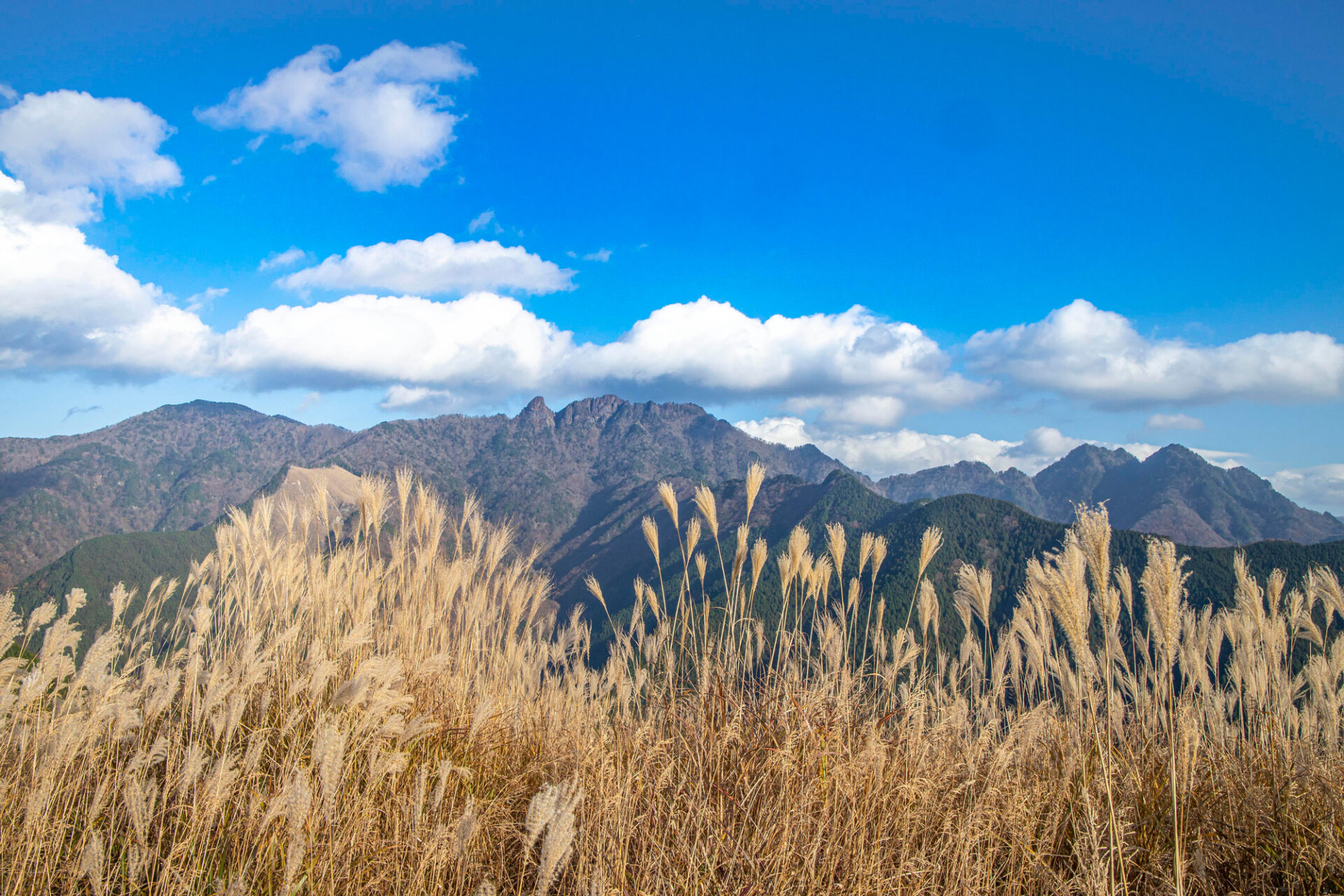
- For Beginner-level Mountain Hikers
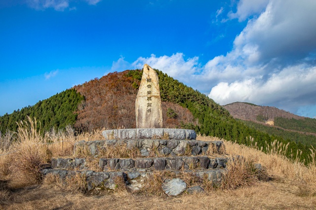
Mount Kannon-mine
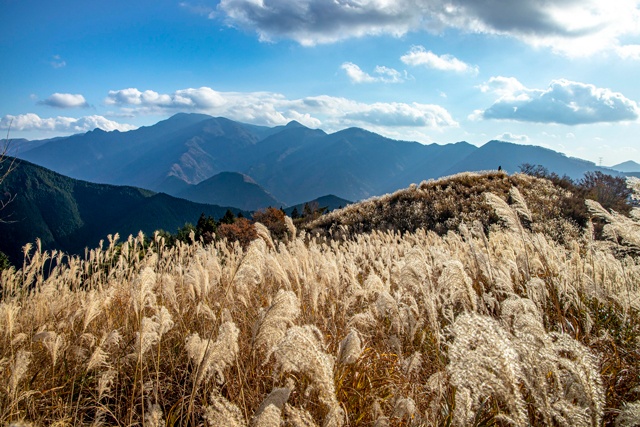
The hiking trail leading to the Mount Kannon-mine Observatory (elevation 1285 meters, with the summit of Mount Kannon-mine reaching 1347 meters) is a popular route throughout the seasons because of the well-maintained mountain paths. Hikers can enjoy a genuine mountain panorama in about 90 minutes from the trailhead. From the observatory at the summit, one can marvel at a rare and expansive mountain view in the Kansai region, featuring landmarks such as Mount Inamura-gatake and Mount Dainichi to the front, Mount Misen and Hakkyo-gatake from the Omine Okugake-michi to the south, and a distinct overlapping mountain range to the west.
Check out “YAMAP” for courses and other details provided by Tenkawa Village staff who walked this route.
Note: When mountain climbing, download a map from YAMAP, and check the course and your location for your safety.

【Access】
From Kawai Intersection on Route 309, take Prefectural Route 21 toward Dorogawa. The Mount Kannon-mine Trailhead Resting Area is located on the right side right after the Abu Tunnel.
【How to Use YAMAP】


*When searching for a map, search for “Kannon-mine” and you will find the result as “Kannonmine-yama.”
Read rules and manners for enjoying Tenkawa Village